|
|

Bill Blake Heritage Documentation will supply low level aerial imagery for illustration, display and survey purposes. Kite Aerial Photography (KAP) offers surprising and unexpected viewpoints of buildings, monuments and sites. It is dependent on weather conditions so a good lead-in time is desirable for KAP projects! KAP is: low cost, non contact, low level, vertical or oblique, supplied on a results based fee, metric, ideal for visitor orientation imagery. |
Raising the camera on the kite line, BBHD maintains a flight of video relay equipped kites and radio controlled cameras to suit winds from Beaufort force 3 to 5 (6-23mph). Flying height is typically 30-60m above ground level. |
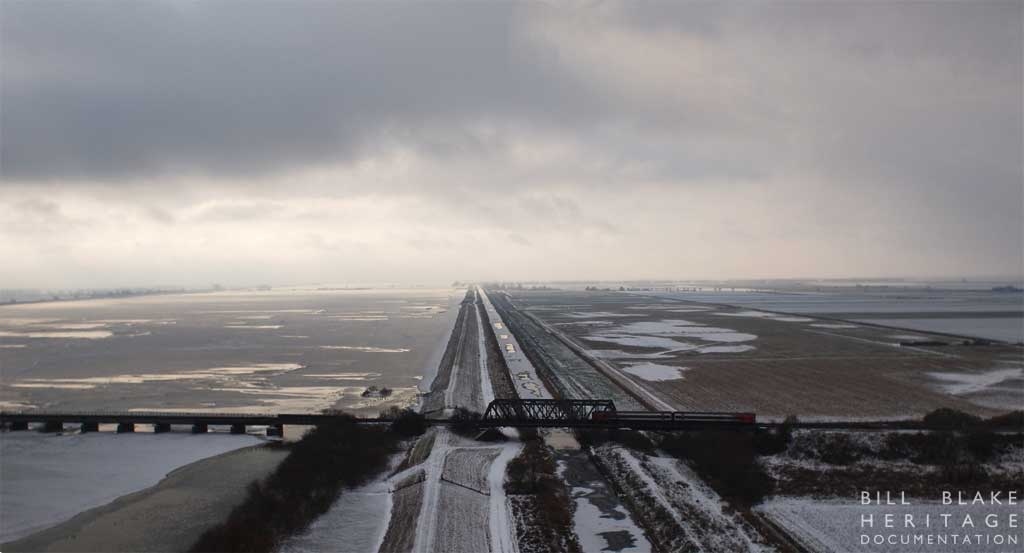
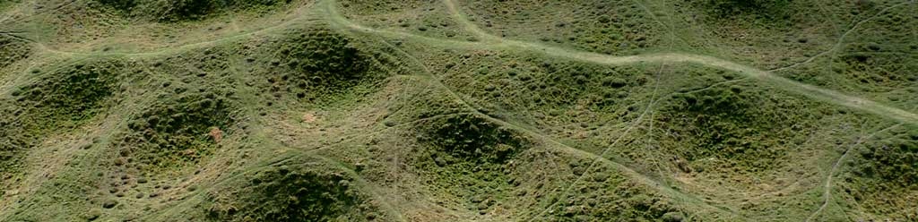
Unique landscape views, roof details & condition are recorded by images captured during a KAP flight. Flight and subject illumination will vary according to location and weather conditions. Not all sites are possible but when effective the cost of capture is very low. This imagery can be montaged to form a site wide record, for an example look at the PROJECT GALLERY |
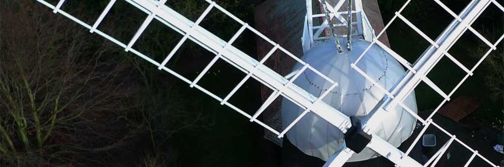
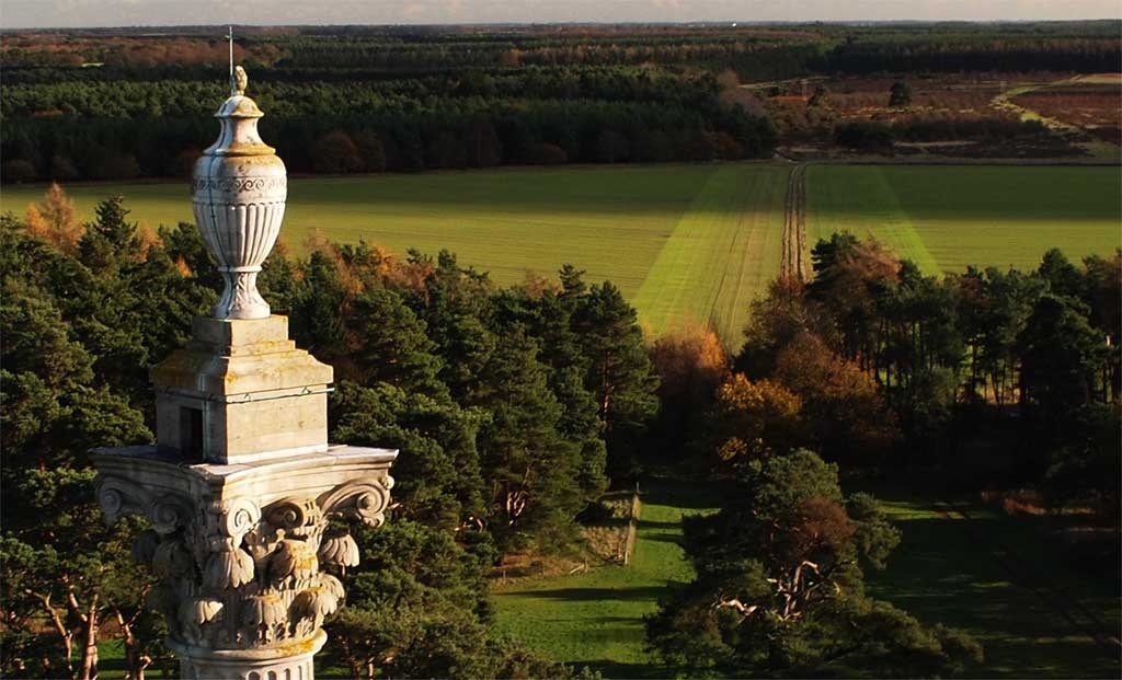
KAP uniquely reveals hidden details of the familiar. Image resolution is achieved by use of a lightweight micro 4thirds format camera. |
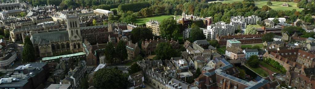
Aerial panoramas can record area characterisation and reveal built environment texture. Development pressure is made clear by the low level viewpoint at a much lower cost and greater flight duration than almost any other low level aerial platform. |